Western Sichuan Travel Guide: the Complete Overview
What “Western Sichuan” actually means
Western Sichuan — 川西 — is not a line on the map but a working name for two prefecture-level regions: Garzê (甘孜) and Ngawa / Aba (阿坝), Tibetan Autonomous Prefectures covering the eastern edge of the Qinghai-Tibet Plateau. English speakers also say “the Tibetan areas of Sichuan”, and that is exactly right: much of the population, the architecture, the food and the faith you meet there is Tibetan.
What earns the reputation is density. Within a single week of road you can stand under 6,000-metre holy peaks, walk boardwalks over travertine pools, cross 4,000-metre passes where prayer flags crack in the wind, and sleep in a valley of apple orchards. Few regions on earth stack this much scenery per kilometre of road.
The headline destinations
| Destination | Signature scenery | Realistic time |
|---|---|---|
| Jiuzhaigou | Terraces of blue-green lakes and waterfalls in forest | 1 full day |
| Huanglong | Travertine terraces at 3,500 m, a 5-km natural staircase | half day |
| Mt. Siguniang | Granite spires; three valleys for bus, legs and ponies | 1–2 days |
| Daocheng Yading | Three holy peaks, alpine lakes, Tibet's most photographed village | 2 days + road days |
| Xinduqiao & Tagong | The “photographer's corridor”: poplars, yaks, monasteries | 1 day |
| Mugecuo & Hailuogou | Alpine lake with hot springs; a glacier you reach by cableway | 1–2 days each |
How many days do you need?
- 3–4 days: one highlight — Jiuzhaigou + Huanglong, or Siguniang — with a Chengdu base.
- 5–6 days: the western corridor sampler — Xinduqiao, Tagong, Mugecuo or Moshi Park.
- 7–9 days: the full run to Daocheng Yading with proper acclimatisation; this is the classic.
Roads are genuinely good now — the G318 is fully paved and tunnels shave hours off old maps — but distances are Tibet-distances: 250 km can be six hours of switchbacks and photo stops. Plan days by hours, not kilometres.
Go yourself, or go with an operator?
Public transport reaches the county towns but not the monasteries, viewpoints and side valleys; self-driving is possible but altitude fatigue is real. That is why most international visitors run it as a licensed tour with a driver who knows the passes. Our own itineraries are listed on the operator page — the same routes described in these guides.
From reading to booking
See the journeys this guide feeds into — run pure-play (zero shopping, in writing) by a licensed Chengdu operator.
Frequently asked questions
What does “West Sichuan” mean?
It is the common name for Garzê and Ngawa, the two Tibetan autonomous prefectures of Sichuan province — the plateau country west and north of Chengdu.
Is Western Sichuan the same as Tibet?
No. It is part of Sichuan province, so the Tibet Travel Permit is not required — but the landscape, culture and altitude are genuinely Tibetan.
What is the best first trip?
Seven days: Chengdu, Xinduqiao, a high-grassland night, then Daocheng Yading with two nights near the park.
Keep reading
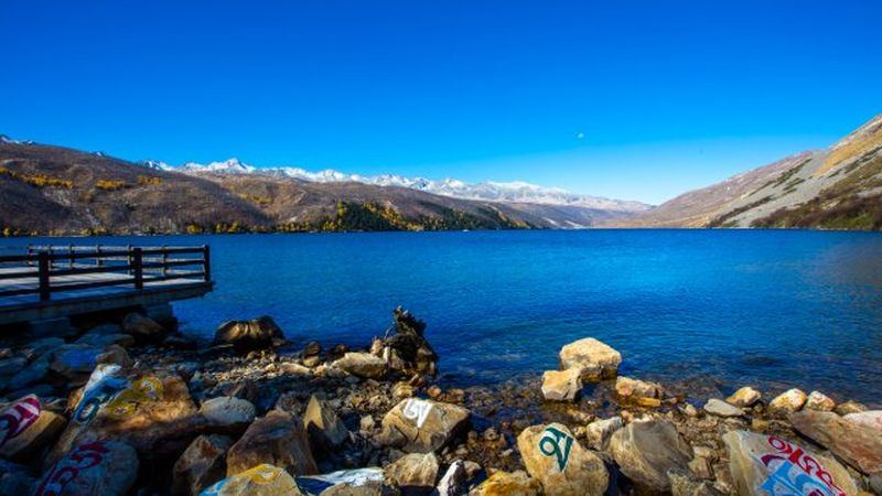
Western Sichuan itineraries: 5, 7 and 9 days from Chengdu
Three tested road plans with overnight stops chosen for altitude pacing — copy the route or hand it to us to run.
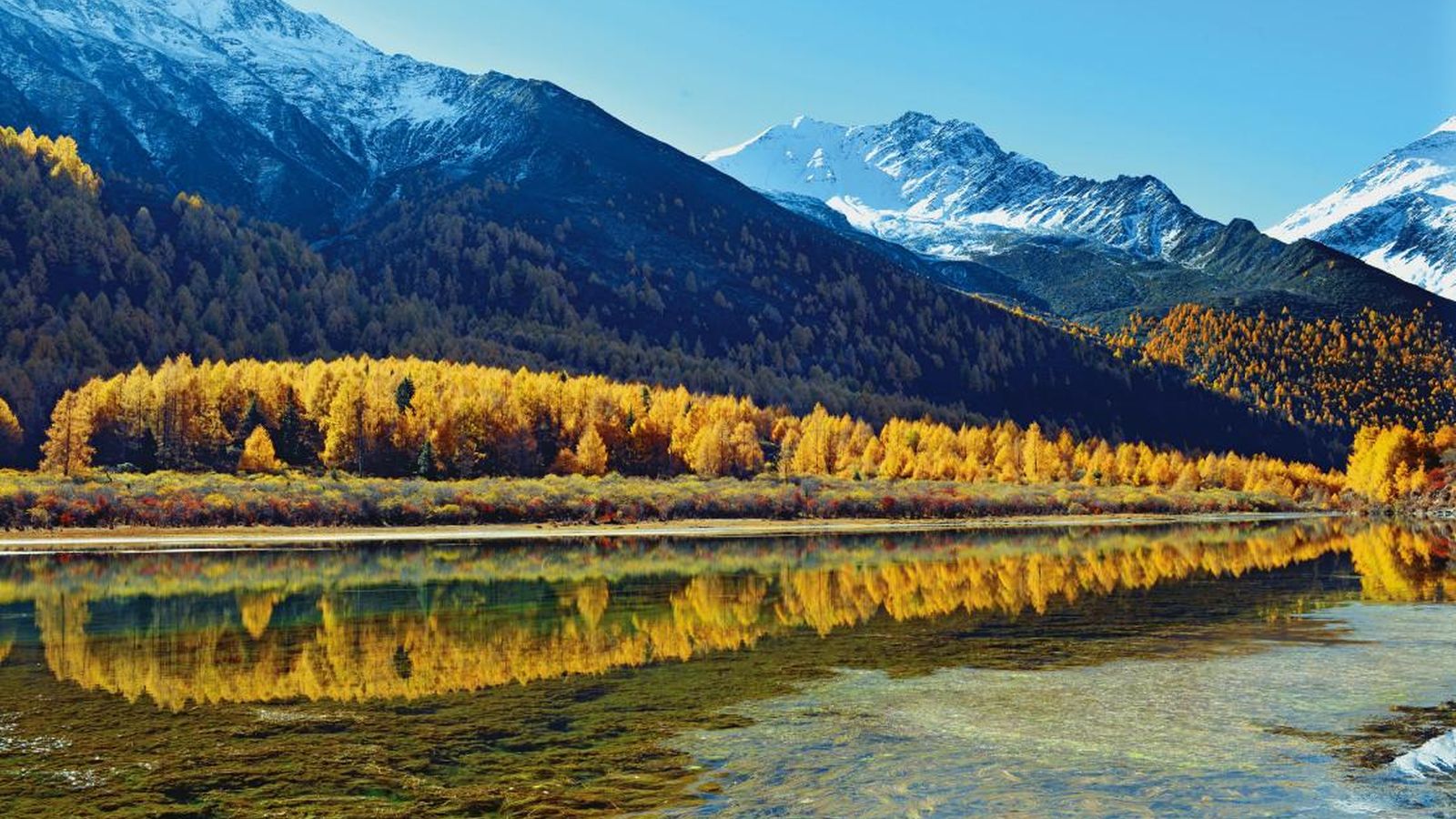
Altitude sickness in Western Sichuan: how to plan around it
Which towns sit above 3,000 m, how to pace a route upward, what AMS feels like, and the rules that keep first-timers safe.
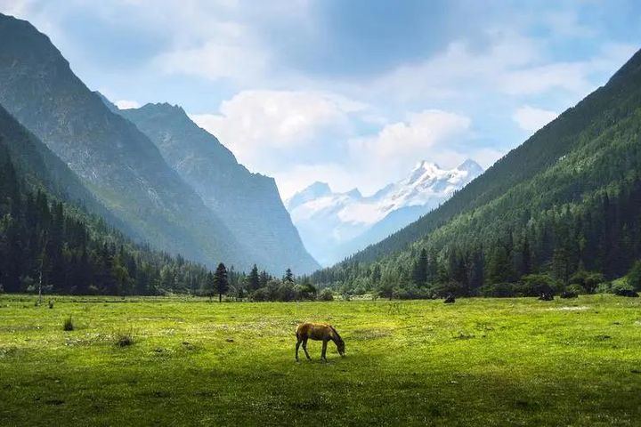
Siguniang Mountain: a guide to the four sisters and three valleys
What each of Shuangqiao, Changping and Haizi valley offers, which one fits your legs, and how a 2-day weekend works.